

Beschreibung
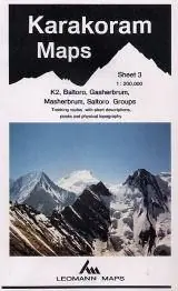
K2, Baltoro, Gasherbrum, Masherbrum, Saltoro.
Maps designed specifically for the trekker, presenting the topography by line drawings of mountain ridges, with main peaks and passes shown with their height above sea level. The maps also show rivers and settlements and clearly indicate trekking routes. On the reverse are of suggested routes and other information about the area.
Mehr Informationen
| ISBN | 978-0-9062-2768-8 |
|---|---|
| Verlag | Leomann Maps |
| Reihe | Karakoram Maps |
| Erscheinungsjahr | 2006 |