

Beschreibung
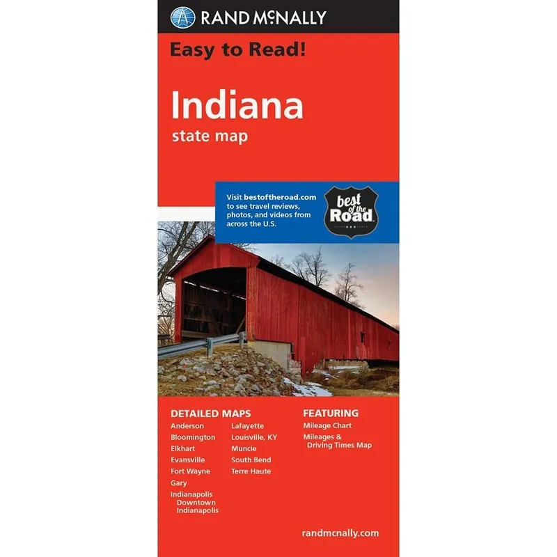
Map of the State of Indiana.
Including detailed maps of: Anderson, Bloomington, Elkhart, Evansville, Fort Wayne, Gary, Indianapolis, Downtown Indianapolis, Lafayette, Louisville (KY), Muncie, South Bend, Terre Haute.
Rand McNally’s Easy To Read State Folded Map is a must-have for anyone traveling in and around Alabama, offering unbeatable accuracy and reliability at a great price. Our trusted cartography shows all Interstate, U.S., state, and county highways, along with clearly indicated parks, points of interest, airports, county boundaries, and streets.
The easy-to-use legend and detailed index make for quick and easy location of destinations. You’ll see why Rand McNally folded maps have been the trusted standard for years.
Mehr Informationen
| ISBN | 978-0-5288-8124-4 |
|---|---|
| Verlag | Rand McNally |
| Reihe | Rand McNally State Maps |
| Erscheinungsjahr | 2009 |